From hiking the peak of a mountain to taking in the scenery on horseback, the Great Smoky Mountains National Park has hundreds of miles of trails.
Perfect for the whole family or a challenging trek, the opportunities to explore new terrain are endless.
Cooper Road Trail
Just off the Cades Cove Loop, this 10.9-mile trail is perfect if you are seeking an all-day hike. Starting off surrounded by maple, oak and pine trees, the trail soon rises over a few ridges along a creek, then descends into a ravine leading to a great area covered with beautiful spring wildflowers. The trail is almost entirely flat and goes all the way to the edge of the park.
Porters Creek Trail
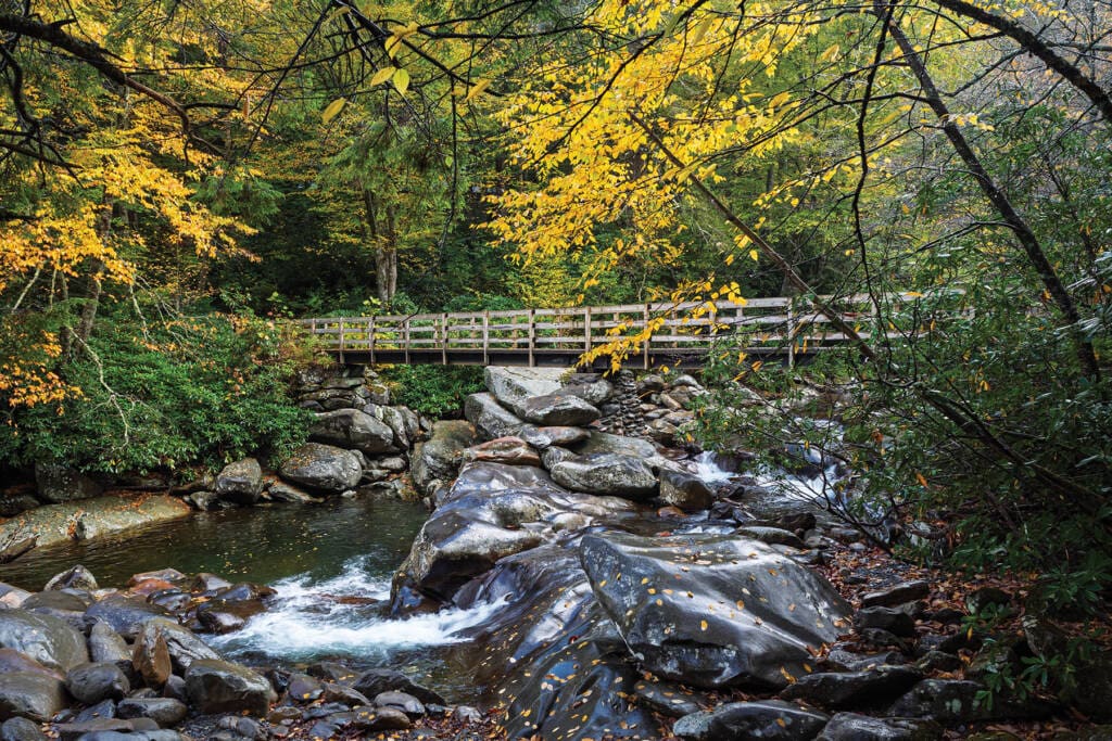
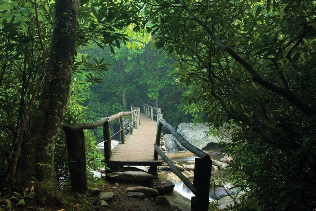
A four-mile round trip to Fern Branch Falls and back, the trail is famous for its luscious green forest floor and abundance of wildflowers in the spring. Following the windy Porter’s Creek, there are plenty of beautiful stopping points and three bridges to cross along the way.
Ace Gap Trail
A 5.6-mile-long trail from Rich Mountain Road to Beard Cane Trail, this trail is considered a part of Cades Cove. The Ace Gap Trail is one of the most peaceful trails offered and parts are covered with beautiful Pink Lady’s Slipper wildflowers. You will distinctly know you’ve reached Ace Gap when you pass the biggest cave in Cades Cove, Bull Cave, and the old railroad bed that crosses the trail.
Laurel Falls Trail
A four-mile, round-trip hike, the Laurel Falls trailhead is located between Sugarlands Visitor Center and Elkmont Campground. This trailhead is very busy during the summer and on weekends year-round. By hiking 0.75 mile beyond the falls you can enjoy an old-growth forest and big trees.
Andrews Bald
The hike used to traverse one of the most rugged and rocky trails in The Great Smoky Mountains National Park, but after much construction, Andrews Bald is much easier now, not to mention a lot safer. Situated along Forney Ridge, the 3.6-mile hike is known for its spectacular displays of azaleas and leads to a gorgeous panoramic view of the Smoky Mountain Highlands.
Deep Creek Loop Trail
A 4.6-mile, round-trip loop known for its streams and waterfalls and abundant wildlife throughout, the wide gravel trail is connected to several campsites and a short spur trail that leads to Indian Creek Falls, which is a 45-foot waterfall with a large pool ideal for wading. The trail is also used as a launching point for tubing.
Charlies Bunion
Beginning at the Newfound Gap parking area, the hike to Charlies Bunion travels eastward on the Appalachian Trail leading to a popular rock outcropping. Along the way, you will enjoy a gorgeous view of the Smokies, a wide variety of wildflowers and outstanding views of Mount LeConte and Myrtle Point. Your destination offers spectacular views of Mount Kephart to the north, The Jump Off to the west and Mount Guyot toward the east.
The Jump Off
The trail leading to The Jump Off steeply climbs on a rugged path that will begin to level in an open, grassy area on the unmarked summit of Mount Kephart. After a long, steep climb, your efforts will be amply rewarded. The Jump Off sits atop a 1,000-foot cliff on the northeastern side of Mount Kephart providing amazing views of Eastern and Central Smokies.

Gregory Bald
To get here, you can take the five-mile Gregory Ridge Trail from Forge Creek Road to its intersection with the Gregory Bald Trail at Rich Gap; however, there are five trails that lead to Gregory Bald. It is perhaps most famous for the flame azaleas that bloom atop its summit each summer, which are so unique that the British Museum of Natural History has collected samples of them. Gregory Bald is a 10-acre, high mountain grass meadow, which burns with orange and wine-colored blooms.
Ramsey Cascades Trail
Discover an eight-mile round-trip hike. Take Highway 321 east of Gatlinburg to the Greenbrier entrance of the park. Follow the signs to the Ramsay Cascades Trailhead. The Ramsey Cascades Trail passes through a hardwood forest filled with beautiful plants and flowers, such as silverbells, yellow birches and large tulip trees, and then leads to the Ramsey Cascades, the tallest waterfall in the park and one of the most spectacular.
Rocky Top
The hike to Rocky Top begins at the Anthony Creek Trailhead in the far end of the Cades Cove picnic area. Continue walking east along the Appalachian Trail and you will end up at Thunderhead Mountain, which consists of three summits, the first being Rocky Top. Located roughly 1.2 miles from the Appalachian Trail junction, Rocky Top requires a fairly steep climb to reach the small bald area, but the effort is well worth it. The views are outstanding and some of the best in the entire park.

Mount LeConte
The most popular trail to get to Mount LeConte is the Alum Cave Bluffs Trail, about five miles one way, but is without a doubt one of the park’s favorites. There is also the Boulevard Trail, the longest trail to the summit at eight miles long. No matter how you get there, the views at Mount LeConte are considered the most prominent feature of The Great Smoky Mountains. There are even lodging cabins available on the top of the mountain for visitors to stay overnight.
Appalachian Trail
Also referred to as the A.T., this 2,180-mile trail enters the park at Fontana Dam and exits at Davenport. Clingsmans Dome is the trail’s highest point, and it typically takes approximately seven days to hike the entire trail.
Chimney Tops Trail
One of the park’s most popular trails, the Chimney Tops Trail has incredible views including Mount Le Conte. With a length of 3.5 miles roundtrip, this trail involves a steep climb including a 1,400-foot elevation change and follows the side of Sugarland Mountain.
Grotto Waterfalls
By taking the Trillium Gap Trail off of the Roaring Fork Motor Nature Trail, hikers will reach Grotto Falls, a 25-foot waterfall. The moderate-level hiking trail weaves through old-growth forest for a 3-mile roundtrip.

Old Settlers Trail
Accessible from the Greenbrier area, this relatively smooth trail follows Little Pigeon River for a stretch and passes historical landmarks and structures. This 16.2-mile point-to-point trail is considered moderate to difficult.
Roaring Fork Motor Nature Trail
This scenic 5.5-mile loop road follows through the Great Smoky Mountains National Park beginning near the Noah “Bud” Ogle homestead. Along with stunning nature, this trail offers interesting sights including historic cabins, gristmills and other structures. Several hiking trails are off of the Roaring Fork Motor Trail.
Gatlinburg Trail
The Gatlinburg Trail is the only other trail in the park, besides the Oconaluftee River Trail, where visitors can bicycle and walk their dogs. Accessible from the Sugarlands Visitor Center, the relatively flat trail is 1.9 miles one-way to the edge of Gatlinburg. Along with gorgeous river views, the trail features historic structures from homesites.
The Sinks
No hiking is required to see this waterfall, which is viewable from a parking area along Little River Road. While this is not a large waterfall, it impressively endures the full flow of the Little River. This scenic area is also a popular swimming hole.
Click here to read about kid-friendly hiking trails at Great Smoky Mountains National Park.